2014
U.S. 98/SR 35 PEARL RIVER DRIFT ISSUES STREAM STABILITY STUDY AND COUNTERMEASURE DESIGN
CLIENT: MISSISSIPPI DEPARTMENT OF TRANSPORTATION/MENDROP ENGINEERING RESOURCES
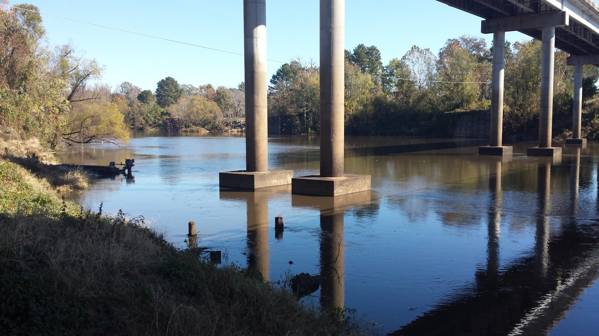
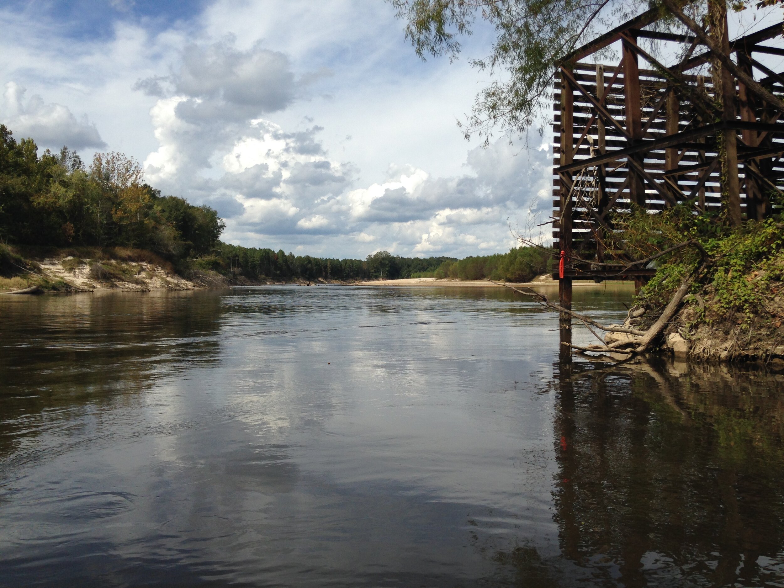
This project included performing a topographic/hydrographic survey for Mendrop Engineering Resources (MER) on the Pearl River in Marion County, Mississippi. MER has been tasked by the Mississippi Department of Transportation (MDOT) to conduct a stream stability study and design countermeasures to prohibit stream migration at the U.S. Highway 98 bridge crossing and the Mississippi Highway 35 bridge crossing.
SCOPE OF WORK INCLUDED:
Hydrographic survey of approximately one (1) mile of the Pearl River bed
Topographic cross-sections were performed every 100 feet extending out 250 feet from the river banks to obtain upland characteristics
Topographic survey was issued for use in design
100-year flood plain cross sections in the vicinity of U.S. 98
Determined and contacted the land owners