2014
SR 42 STREAM STABILITY STUDY AND COUNTERMEASURE DESIGN FOR CHICKASAWHAY RIVER
CLIENT: MISSISSIPPI DEPARTMENT OF TRANSPORTATION/MENDROP ENGINEERING RESOURCES
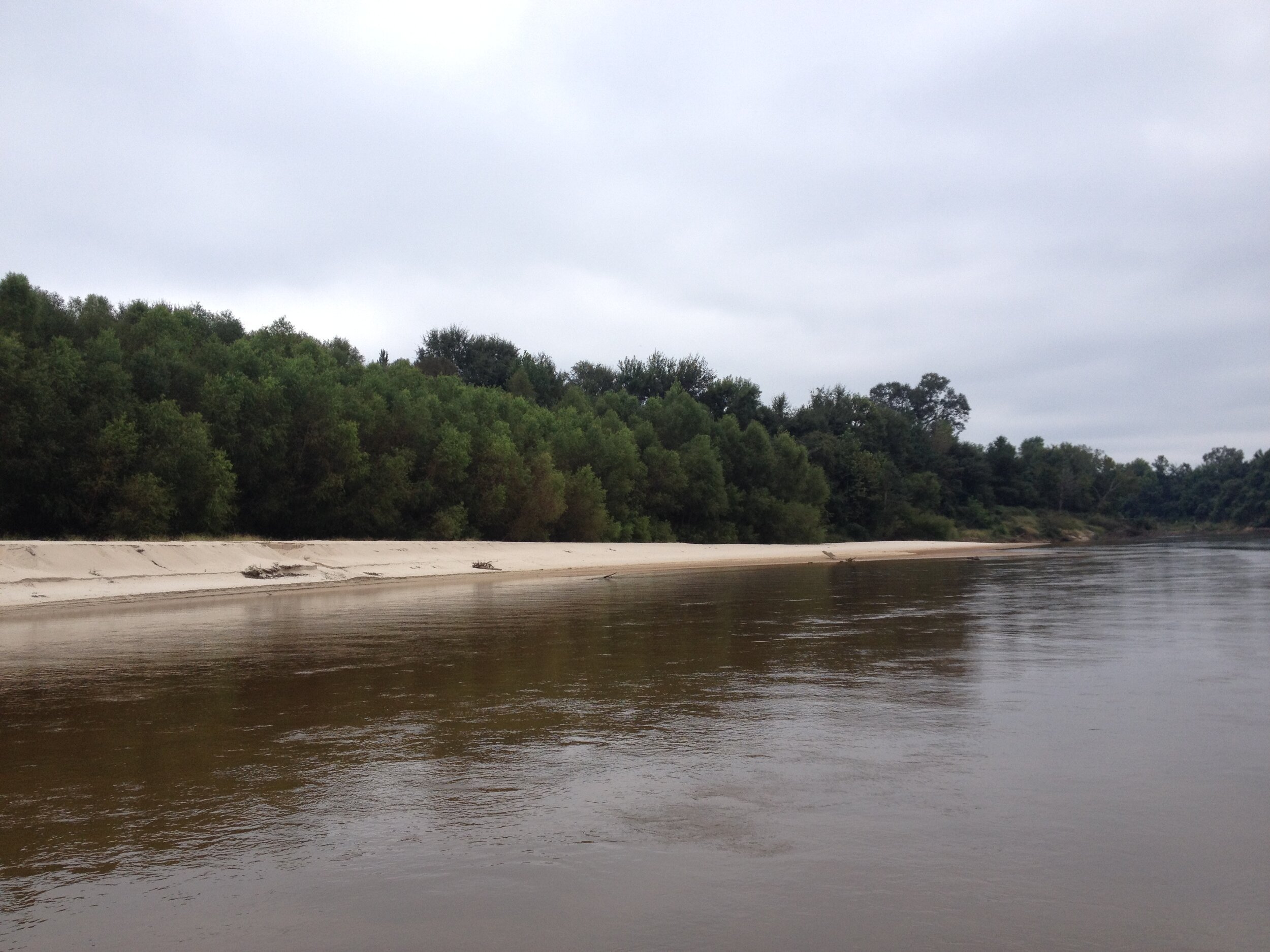
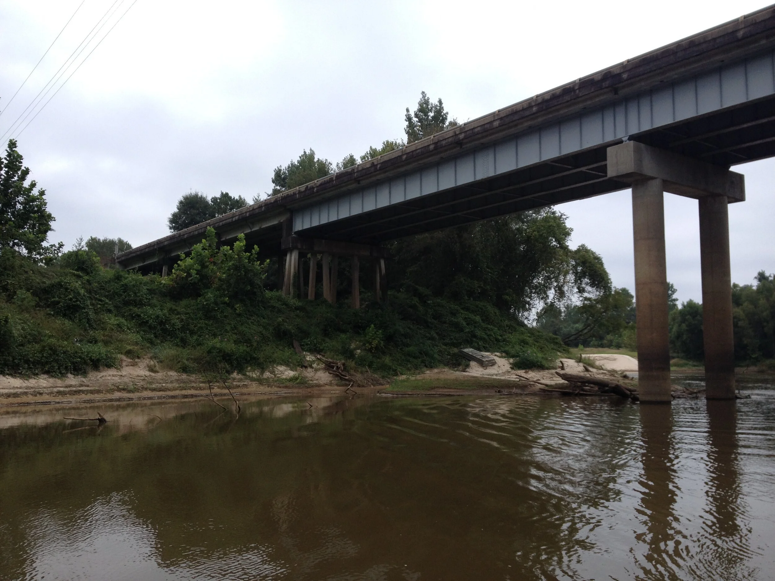
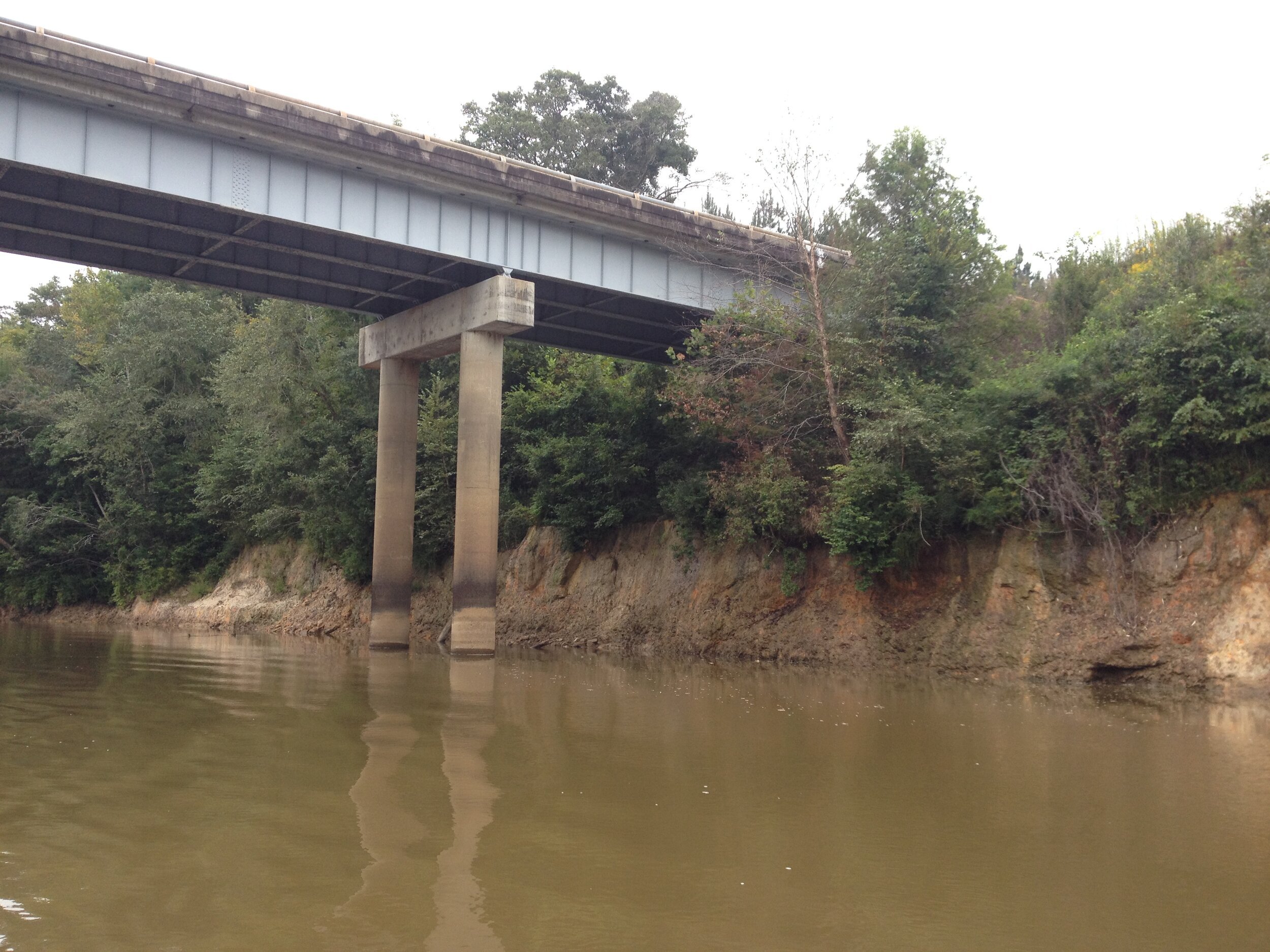
This project included performing a topographic/hydrographic survey for Mendrop Engineering Resources (MER) on the Chickasawhay River in Greene County, Mississippi. MER has been asked by the Mississippi Department of Transportation (MDOT) to conduct a stream stability study and design countermeasures to prohibit stream migration at the Mississippi Highway 42 bridge crossing.
SCOPE OF WORK INCLUDED:
Hydrographic survey of approximately one (1) mile of the Chickasawhay River bed
Topographic cross-sections were performed every 100 feet extending out 250 feet from the river banks to obtain upland characteristics
Topographic survey was issued for use in design
Determined and contacted the land owners