ONGOING
SR 27 (I-55 TO WARRIIORS TRAIL)
CLIENT: MISSISSIPPI DEPARTMENT OF TRANSPORTATION
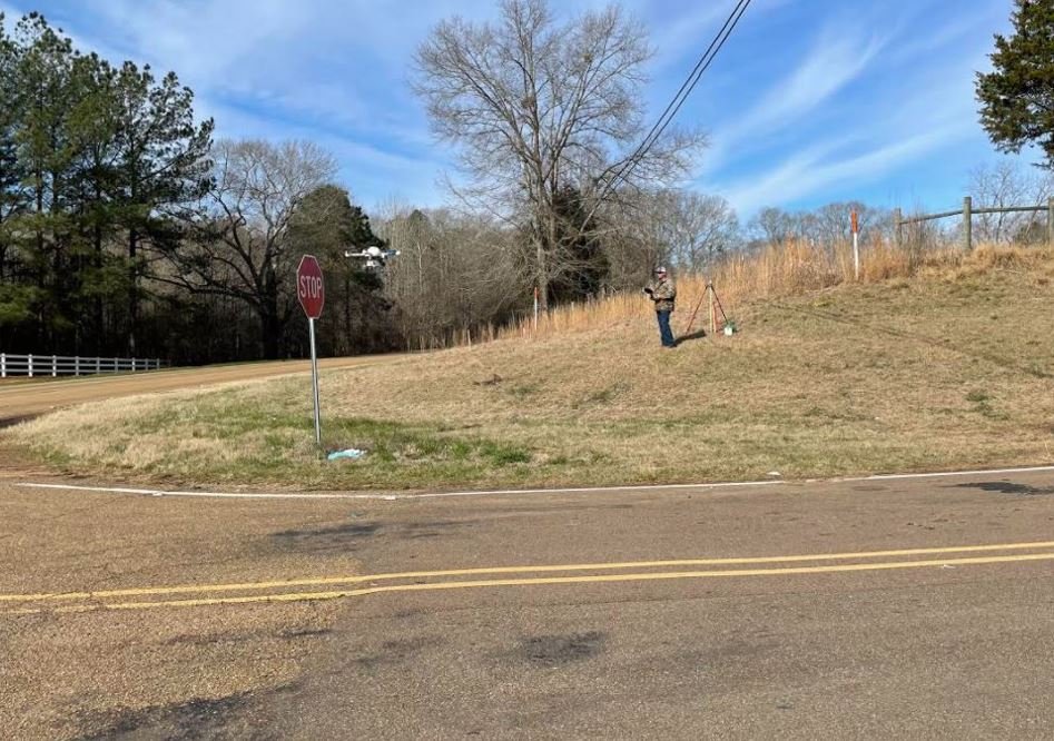
Tice Engineering was hired to conduct an Aerial Drone LiDAR
survey as well as hydrographic surveys for the proposed SR 27
widening project from Crystal Springs to Vicksburg, Mississippi.
Additionally, a property map and topographic survey will be
conducted for a 9 mile section of the project.
SCOPE OF WORK INCLUDES
Property Map
Aerial Drone LiDAR Survey
Topographic Survey
Hydrographic Survey